On Saturday I ran my first ultra marathon since 2011. Les Drayes du Vercors is ‘only’ 62km, but represented the first big test of the year, and a baking hot mid-June day, and 3,800m of vertical meant it was a tough old day on the trail.
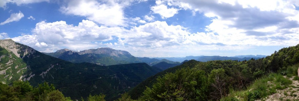
The day before we drove from my home to the fabulous Auberge Collet which would be our base for the weekend. The drive took us through the heart of the southern Vercors, the dramatic Col de Grimone, Gorges des Gats, through the historic town of Die, and then up through the Col du Rousset, giving this amazing view back from the top.
The Route
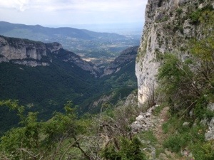
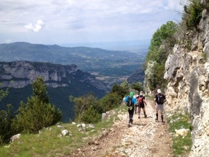
The race comprised several smaller events and relay events, but since I was running the full solo 62km, I would start from La Chapelle-en-Vercors, running in a loop to the southeast taking in two large climbs, before arriving back in La Chapelle after 26km. The race then snaked out to the north along a sustained climb, before plunging down the spectacular cliff faces of Les Grands Goulets. After climbing back up, it was another descent into the valley heading south, before one final climb back into La Chapelle to complete the figure-of-8 course.
The video below, taken by another competitor gives a summary of the full course in a couple of minutes.
Drayes-du-Vercors-2013 par Emmanuel_Bossan
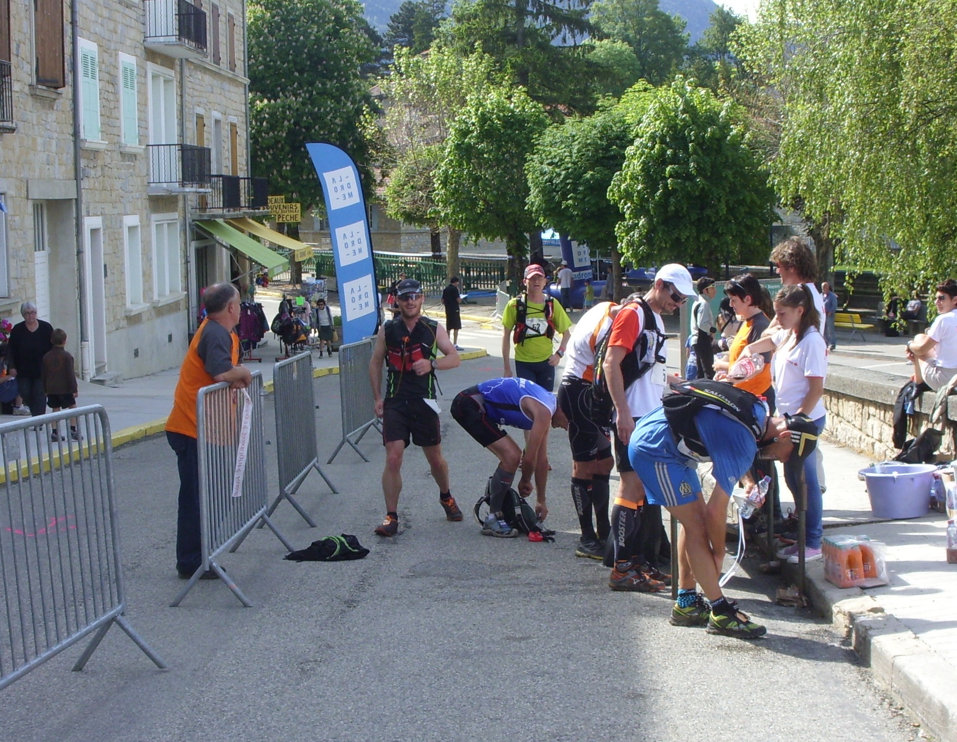
I completed the event in 10:08:27, coming 42nd out of 53 finishers. I’m not sure how many abandons there were but I passed a couple of people who had given up, and we saw one person being stretchered off with what looked like a broken leg.
Organisation
The event cost only 25EUR to enter, and as such was one of the cheaper long distance races I’ve entered. There was no t-shirt or medal, but a portable rubber cup and survival blanket (both mandatory items on the list) were included. I was slightly disappointed with the lack of any route maps, as the map available on the website was not very good quality. It was also difficult to know how far apart the aid stations were – a list of them with cumulative distance would have been handy.
However, despite the lack of map, the marking of the course was fantastic, with ribbons, signs and paint marks ever 25m or so. During the course of 62km, I only took one wrong turning towards the end (and it was my fault for not paying attention) resulting in a 200m detour (unfortunately back uphill).
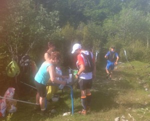
The aid stations were well equipped and the volunteers were full of encouragement. At the end of the race the local Pompiers offered massages and we were all checked out to make sure we were OK.
Terrain
The route the course took was almost always off-road, with probably no more than 500m of tarmac on the whole of the 62km course. In places this was extremely tough going with some very steep sections. In France we have had quite a wet Spring and there were still some quite boggy sections in the forest too.